SITE INTELLIGENCE & REALITY CAPTURE
High-precision 3D documentation and as-built data for the modern construction lifecycle.
3D REALITY CAPTURE:
Deploying high-fidelity 3D scanning and spatial imaging systems to generate millimeter-accurate digital twins. Perfect for remote facility inspections, stakeholder walkthroughs, and streamlining property asset turnarounds.
Core Technical Services
AERIAL SITE PROGRESSION:
Systematic FAA Part 107 certified drone operations to capture high-resolution imagery, monitor critical project milestones, verify site conditions, and provide total investor transparency.
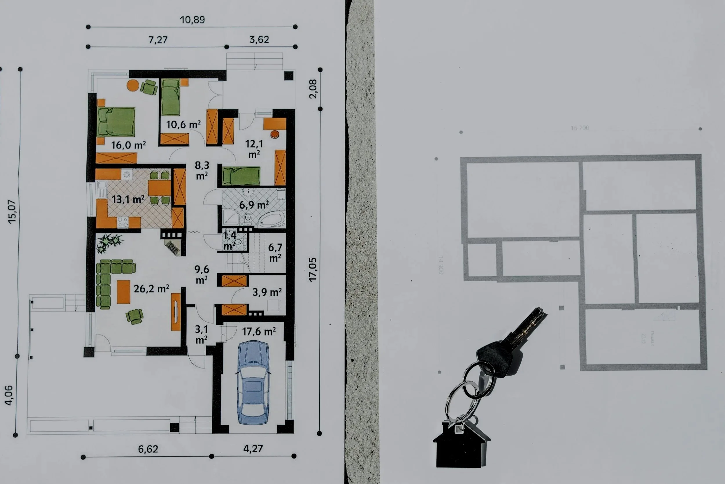
SPACE PORTRAIT & AS-BUILT SCHEMATICS:
Comprehensive space data capture, providing high-resolution schematic floor plans and dimensionally accurate layout data to seamlessly plug into your property management, asset tracking, and marketing workflows.